Martha’s Vineyard to Block Island Nautical Chart Coffee Mug
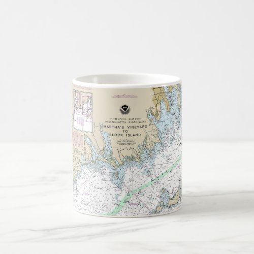
This is NOAA chart 13218 titled, “Martha’s Vineyard to Block Island” and it is based on the original, traditional paper nautical chart. It covers a portion of Vineyard Sound, Buzzards Bay, and Rhode Island Sound. Coverage extends from Martha’s Vineyard to Block Island and the vicinity. The chart’s scale is 1:80,000 at Lat. 41°27’N. Color shading on the chart indicates various water depths and land elevations. Depth Soundings are in feet. Also included on the chart are aids and hazards to navigation. NOAA is phasing out its paper charts. Electronic charts for onboard navigation are replacing paper charts. Certain products in my store utilize cropped elements on the chart. I have removed sections to improve the overall aesthetic quality of the image. Cropping and reprinting charts make them unsuitable for navigation. However, nautical charts are ideal for home and business decor. Framed nautical charts make great conservation pieces. Nautical charts printed on other products in my store make excellent additions to the decor in living areas, bedroom areas, and bathrooms. They are ideal for creating nautical decor themes and accessories. You can easily modify this design by using the “Edit Design” button. The “Edit Design” button allows you to reposition the chart on a product. This feature also allows you to scale the size of the chart on a product. The nautical chart in this design is printed on other products in my store. The chart can also be used to create additional products not found in my store—by using the Zazzle catalog. To do this, scroll down to see the options for transferring this design to additional products.
Significant landmarks and navigational references include Marthas Vineyard, Gay Head, Buzzards Bay, Block Island, Vineyard Sound, Falmouth Harbor, Woods Hole, Nasketucket Bay, Sconticut Neck, Nonamesset Island, Naushon Island, Pasque Island, Cuttyhunk Island, Sow and Pigs Reef, West Island, Smith Neck, Slocums Neck, Horseneck Beach, South Shore Beach, Sakonnet River, Point Judith Neck, and Point Judith.
$14.75