Cape Cod Bay Nautical Chart 13246 Coffee Mug
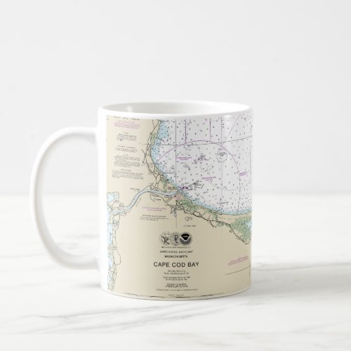
This is NOAA’s chart number 13246, titled “Cape Cod Bay,” and it is based on the original, traditional paper nautical chart. It covers the Cape Cod Bay and its immediate vicinity. The chart’s scale is 1:80,000 At Lat. 41°53’N. Color shading on the chart indicates various water depths and land elevations. Depth soundings are in feet. Also included on the chart are aids and hazards to navigation. Typically, mariners use nautical charts covering this map scale for inshore and nearshore navigation. NOAA is phasing out this paper chart and others like it. Electronic charts for onboard navigation are replacing paper charts. Certain products in our Nautical Chart Store utilize cropped or edited elements on the chart. I have removed or modified sections of this chart to improve its overall aesthetic image quality. Cropping and reprinting this chart makes it unsuitable for navigation. However, this chart is ideal for home and business decor. Framed nautical charts make great conservation pieces. Nautical charts printed on other products in our store make excellent additions to the decor in living areas, bedroom areas, and bathrooms. Wall art created from nautical charts is ideal for creating a nautical theme for homes and businesses. This nautical chart was used to create additional products and apparel. This chart is customizable. You can also use this chart to create other products not found in my store.
Significant landmarks and navigational references include Provincetown Harbor, Cape Cod Bay, Duxbury Bay, Duxbury Beach, Chatham Roads, Chatham Harbor, Green Harbor River, Rexhame, Plymouth Light, Plymouth Bay, Plymouth Harbor, Plymouth, Manomet Point, White Horse Beach, Ellisville Harbor, Sagamore Beach, Sandy Neck, Nauset Beach, Nauset Harbor, and Race Point.
$14.75